

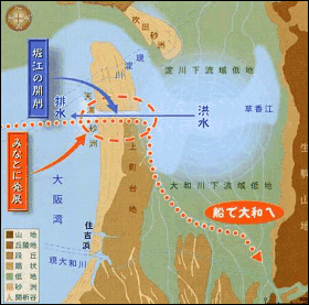
In ancient times, the sea took up almost all of the current Osaka Plains and a peninsula jutted out a long way from the south into the sea.
Landform Map of Ancient Osaka
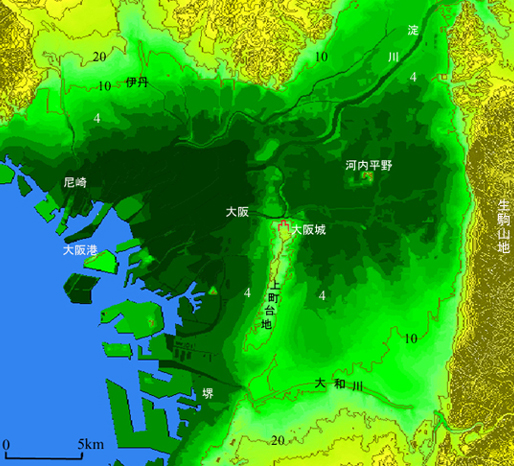
For you reference, the current landform of Osaka plains (green parts) is shown.
In the Jomon and Yayoi periods (up to around 1,700 years ago), sands steadily accumulated by flow of rivers, and in the Kofun period (after the fifth century), the land was rapidly expanded not only by the power of nature but also by human power.
Currently, the peninsula is located on the east side of Osaka City as “Uemachi Tableland,” which runs from the north, the vicinity of Osaka Castle to the south, the vicinity of Sumiyoshi Shrine at a total length of about 9 kilometers.
When you stroll around Uemachi Tableland, you may sometimes come across landforms that you notice to be legacies of ancient times, which cannot be absolutely imagined by only looking at the current map. One of them is the “Tennoji Seven Slopes,” which I’ll introduce.
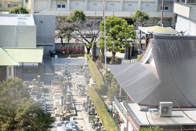
The Tennoji Seven Slopes are located at the eastern versant of Uemachi Tableland, and the places were sheer cliffs where violent waves came and went in ancient times.

In the map, the red routes are the seven slopes, and the names of the slopes are, from the top:
(1) Shingon Slope
(2) Genshoji Slope
(3) Kuchinawa Slope
(4) Aizen Slope
(5) Kiyomizu Slope
(6) Tenjin Slope
(7) Ousaka Slope
Let’s go to the Tennoji Seven Slopes from the north.
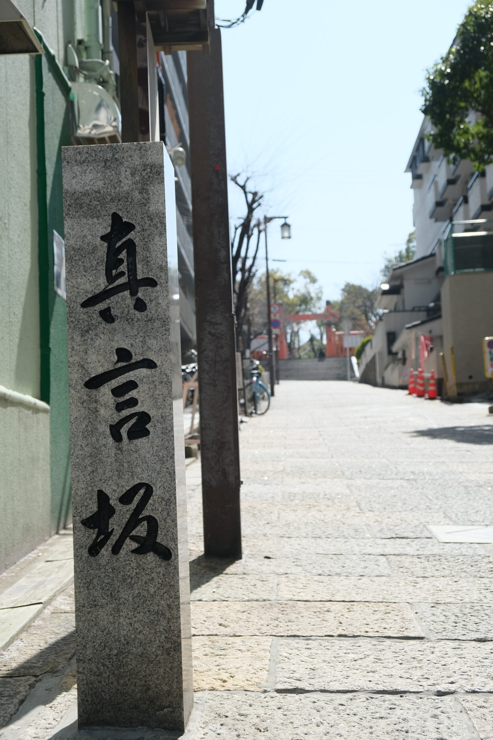
(1) Shingon Slope
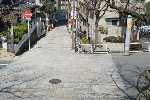
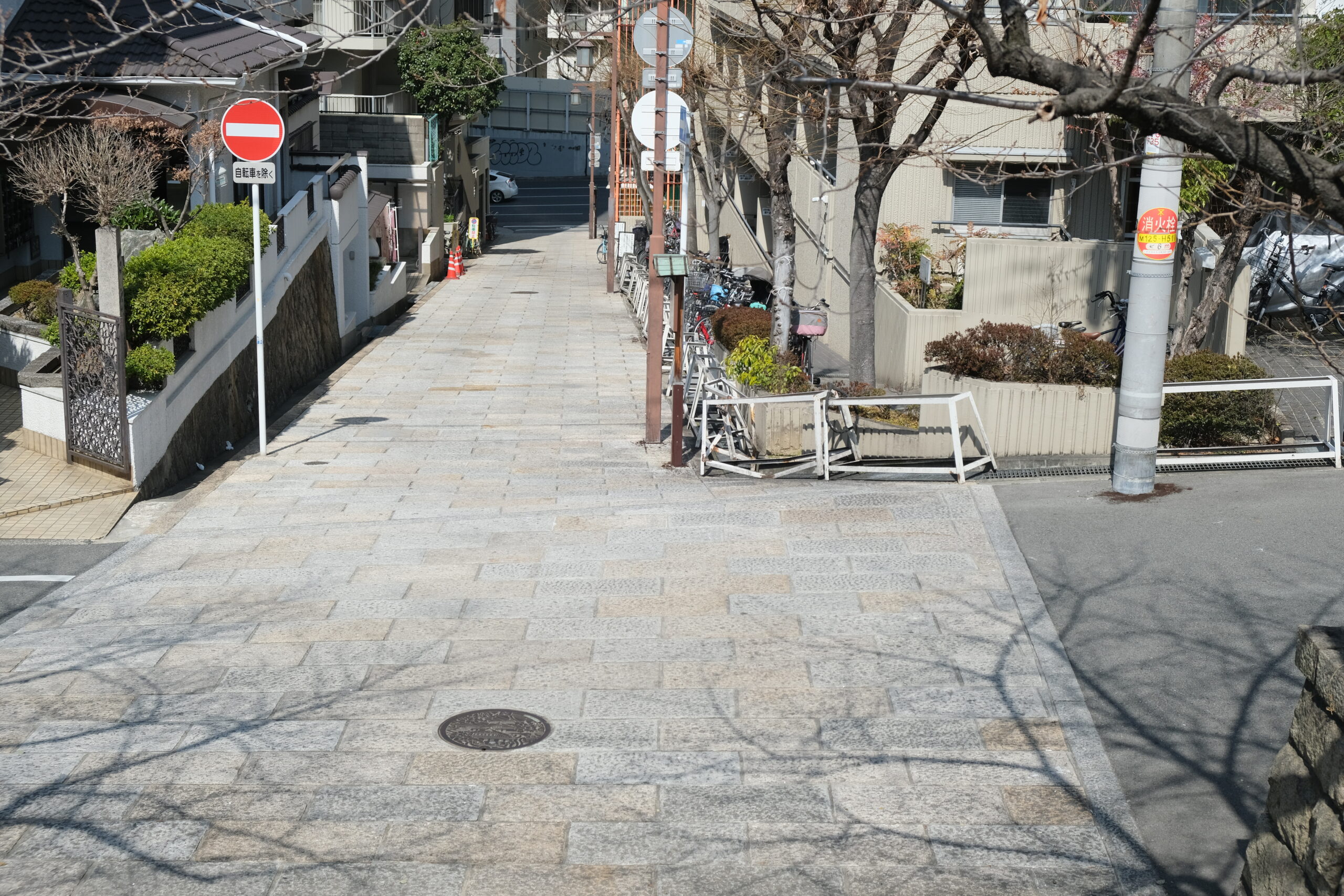
This slope is located at the northernmost tip among the seven slopes, and is only one slope running from north to south. The length is 70 meters and the difference in height is 8 meters. The name of the slope comes from the fact that there were 10 Buddhist temples of the Shingon sect (one sect of Buddhism), but the temples were all withdrawn in the Meiji period. Now there are usual buildings around the slope.
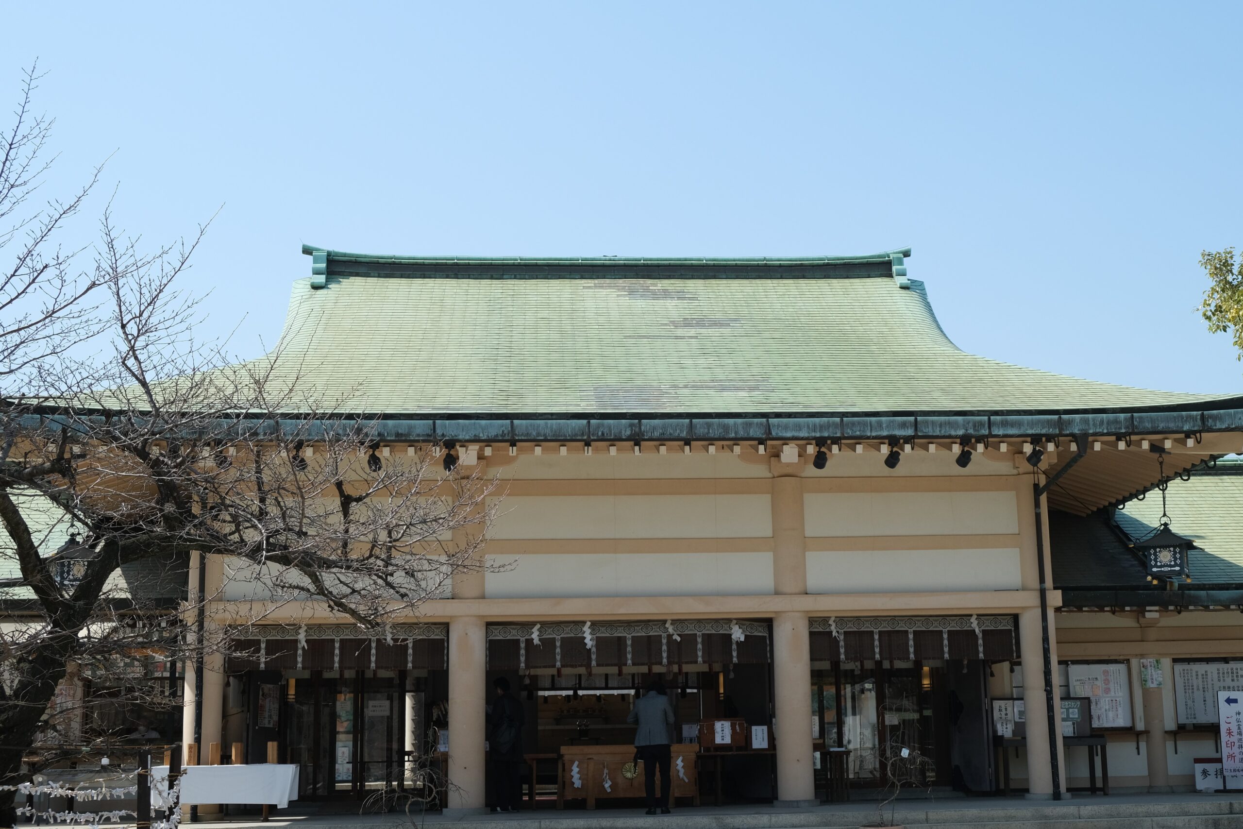
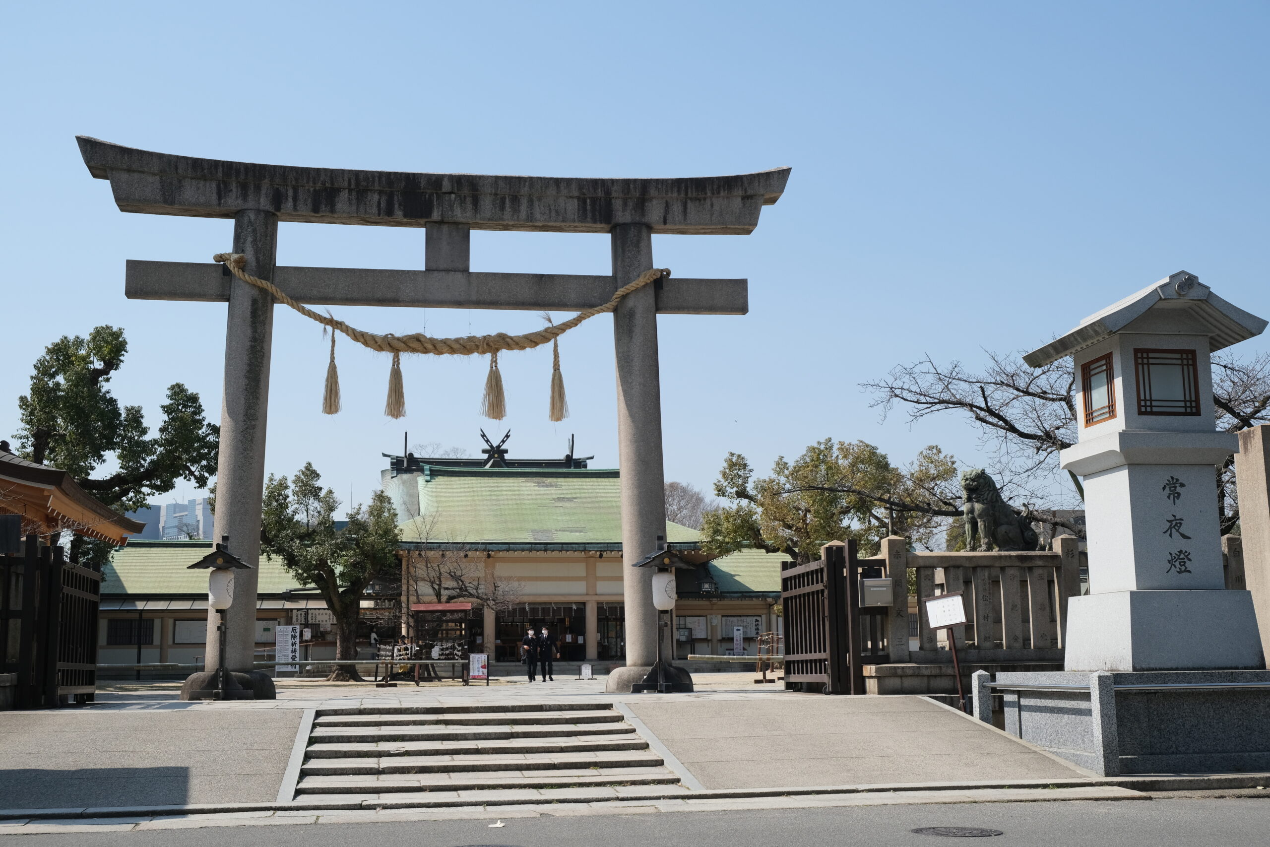
When you go up the slope from the north, you’ll find stone steps located in front of a north torii gate of a Shinto shrine that has continued since ancient times, Ikutama Shrine.
The stone marker says the name of this slope: “Shingon Slope.”
-
Shingon Slope viewed from above of the slope
Front Shrine of Ikutama Shrine

Scenes viewed from the precincts
-
Stone steps and north torii gate
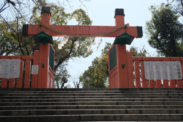
Big torii gate at the front face of the shrine

You can see that here is located at a high place.

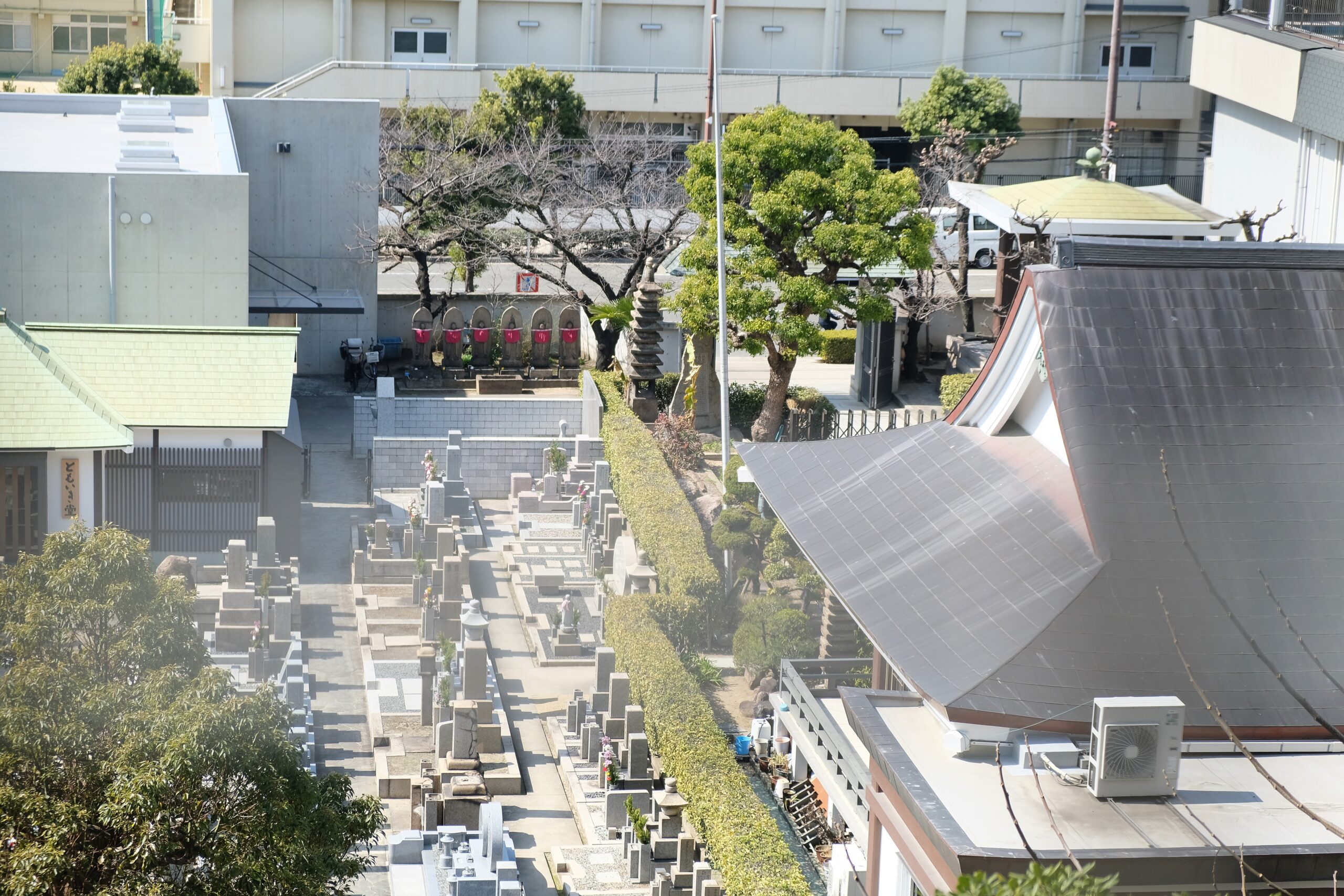
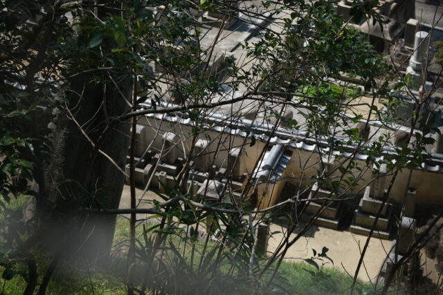
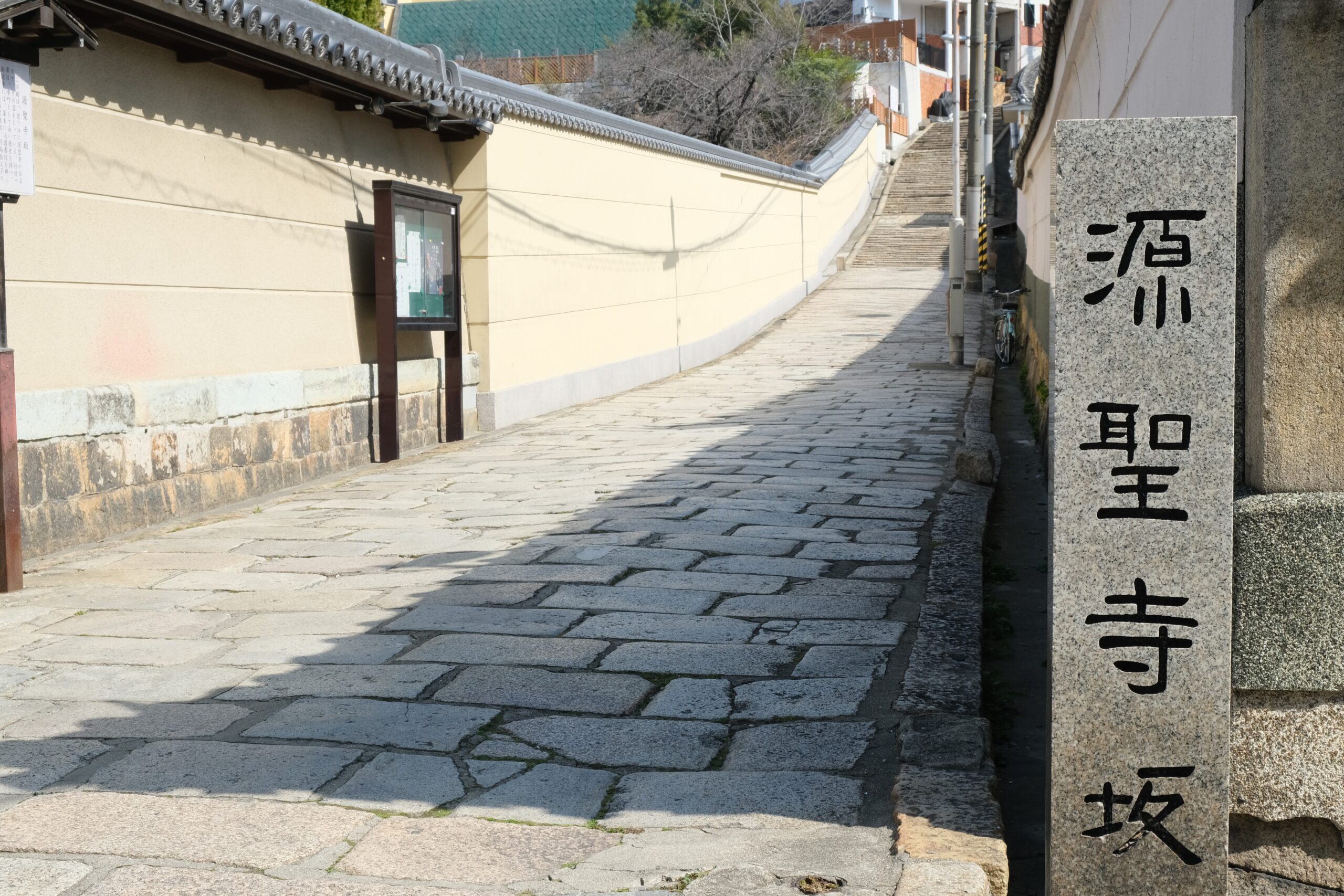
(2) Genshoji Slope
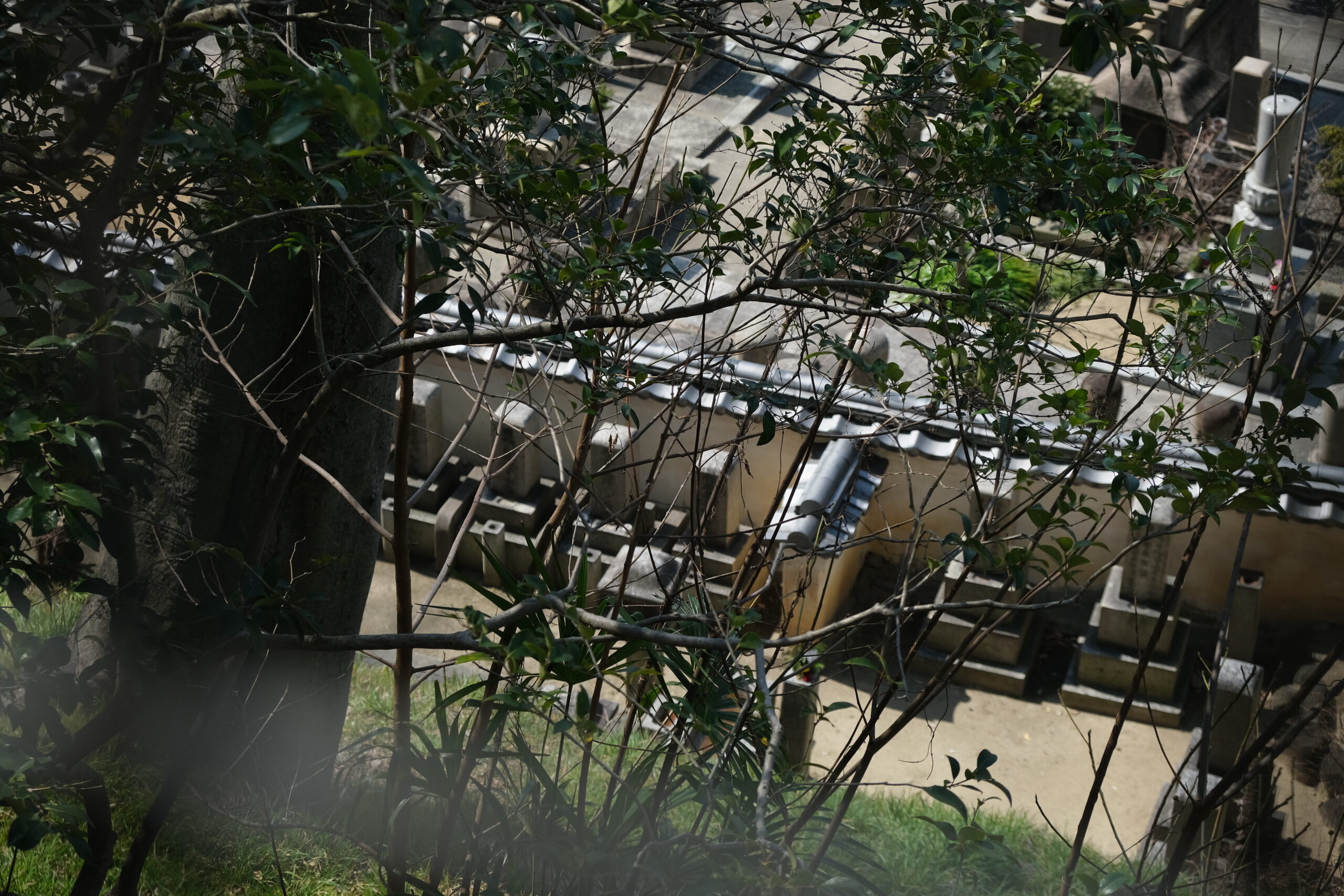
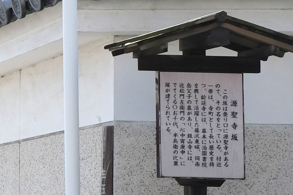
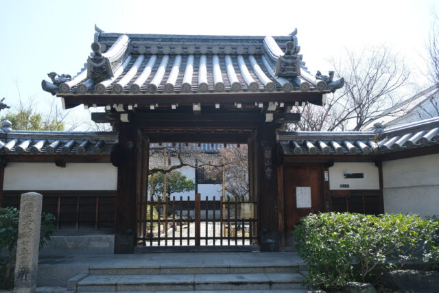
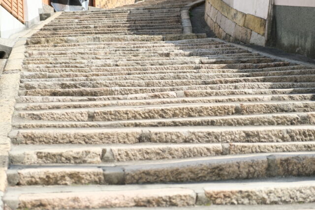
The name of this slope comes from Genshoji Temple at the bottom of this slope. First this slope is a stone pavement, but from the middle it turns into stone steps because the slope becomes steep. The length is 120 meters, and the difference in height is 15 meters.
The stone marker says the name of this slope: “Genshoji Slope.”
The guide plate explains the history of the slope and famous temples around there.
-
Beautiful Stone Pavement

Ginzanji Temple
The two temples are written on the guide plate. -
The pavement turns to steps in the steep slope.
Reienji Temple
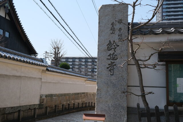
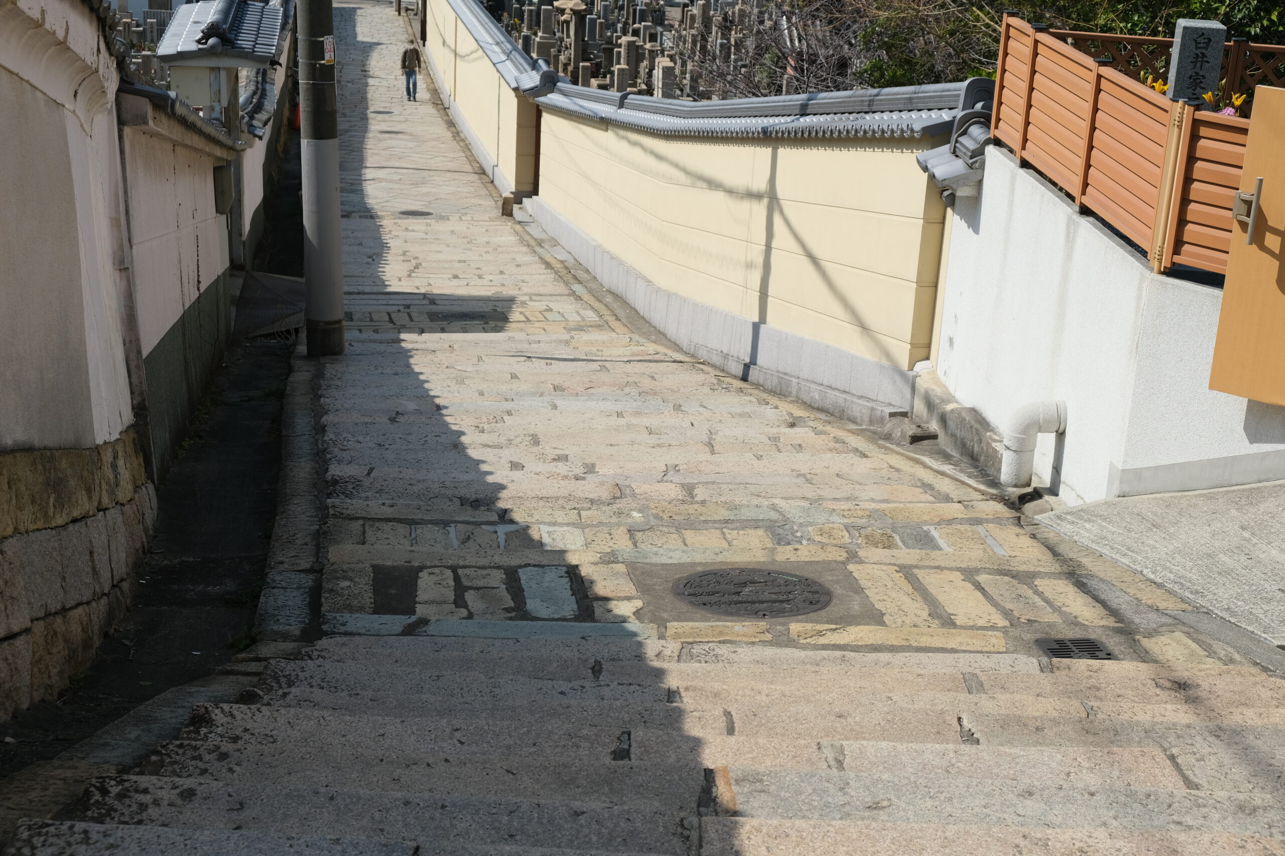


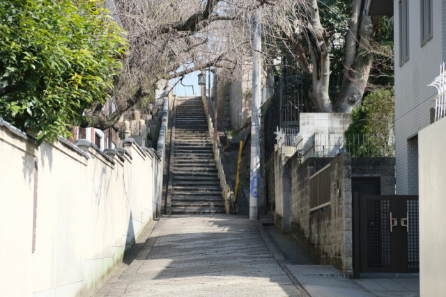
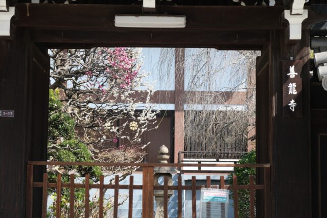
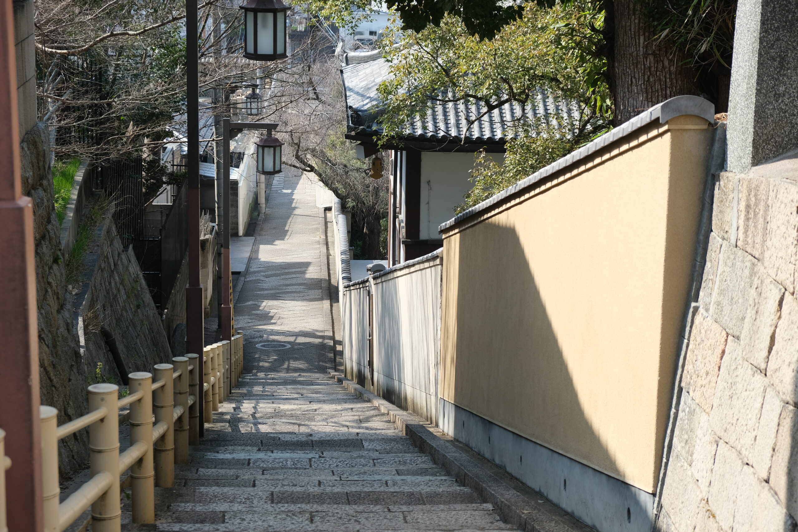
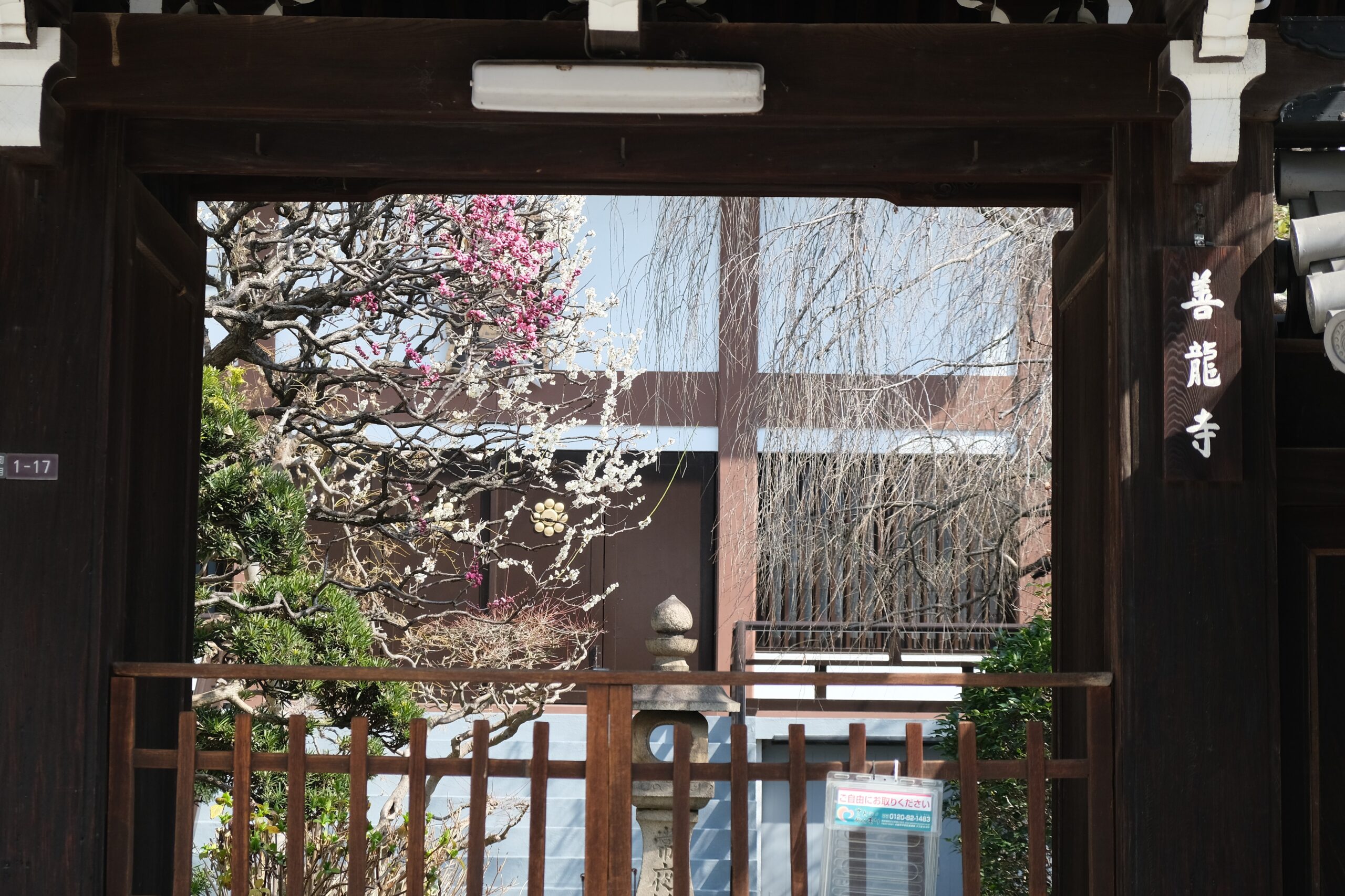
(3) Kuchinawa Slope
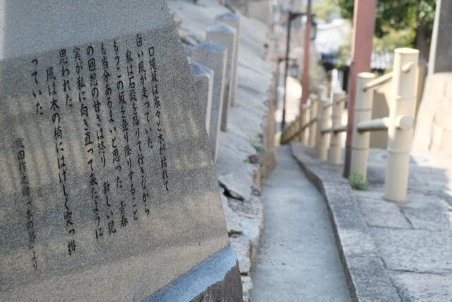
There are some stories of the origin of this slope name but it is the most famous that the shape of the slope looks like a kuchinawa (the Japanese word is an old Osaka dialectal word meaning snake), when you look up the slope from the bottom. The slope has a length of 130 meters and a difference in height of 15 meters. When you climb to the top of the slope, you’ll see a stone monument of ODA Sakunosuke, who was a novelist in Osaka and whom Osaka people love.
The stone marker says the name of this slope: “Kuchinawa Slope.”

-
Slope viewed from the bottom
Stone Monument
-
Slope viewed from the top

A Buddhist Temple along the slope


That’s all for this time. Look forward to the next time!
Leave a Reply